On Tuesday I took a trip to the village of Noatak, about 55 miles north of Kotzebue. Noatak is located on the Noatak River and has a population of about 489 people.
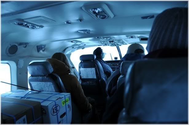
I flew there on a
Frontier Alaska Cessna Caravan. All the villages around Kotzebue are off the road system and are accessible only by boat in the summer, snowmachine in the winter, or airplane. When I first moved to Kotzebue 12 years ago, Noatak still had barge service in the summer for supplies and fuel. Because of the changing channels in the Noatak River, the river is now too shallow. Everything in Noatak is flown in (unless people bring it themselves on a boat or snogo) that includes fuel. In this photo you can see that we are sharing space in the plane with some fresh produce packed in those boxes.

In this photo you can see what Alaskans like to fix their planes with....duct tape!
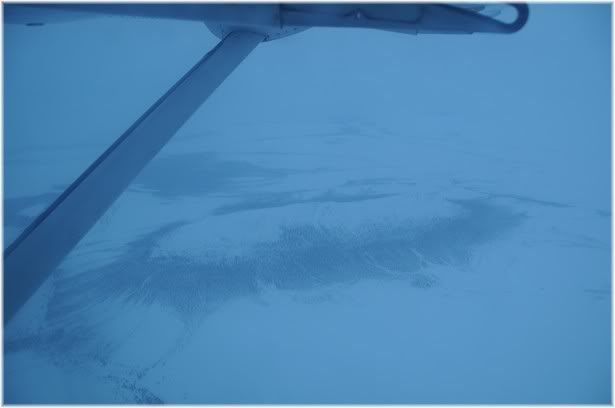
As you can see, the weather was pretty yucky so there was not much of a view. The mountain below is Mt. Memelak. You can see photos of this mountain that I took on better days
here and
here.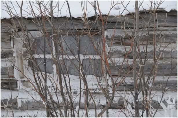
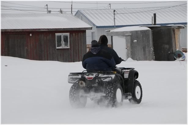
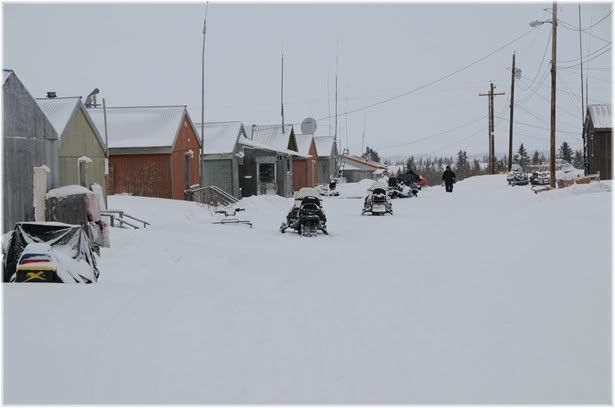
Like all villages, Noatak is a mixture of old cabins....
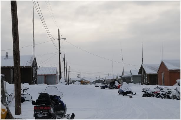
...and more modern type houses. If you are wondering what the antennas on the houses are they are for VHF radios. Most people have phones but EVERYONE has a VHF radio and they are used just as much, if not more, as phones are for communication.
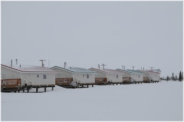
These houses here were built within the last couple years I think.
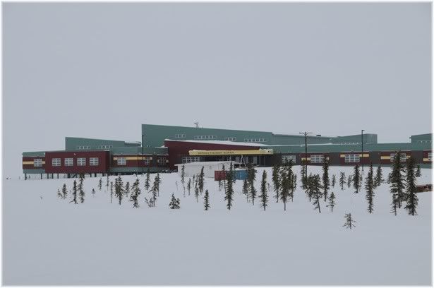
Noatak has a brand new school. It opened at the beginning of this school year and is attended by approximately 171 students in grades K-12.
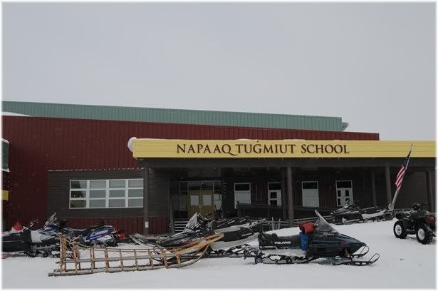
The new school is beautiful and is a huge improvement over the run down, inefficient old school.
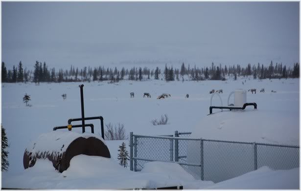
While I was at the school some kids wanted to show me that there were some caribou out behind the gym.

Noatak has a new clinic too. The old one was small and old. The new one has updated equipment and is easier to keep clean. Each of the 11 villages surrounding Kotzebue is hooked to the Maniilaq Health Center by using Telemedicine. You can read a good article about this system
here. 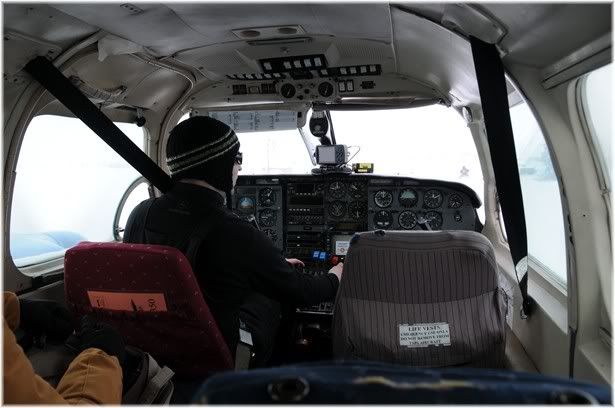
After I was done doing what I had to do it was time to head back to Kotzebue. This flight was Kotz-Noatak-Kivalina-Kotz, so we headed out in a Piper Navaho.
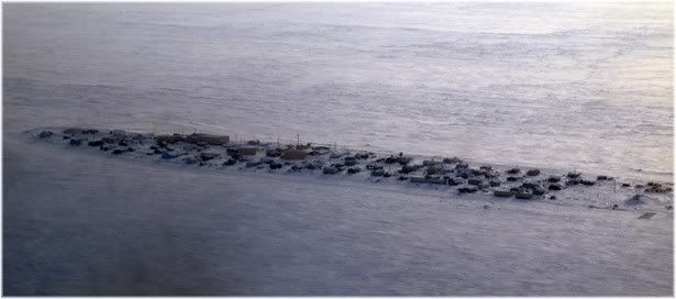
Kivalina is at the tip of an 8-mile barrier island located between the Chukchi Sea and Kivalina lagoon. It lies 80 air miles northwest of Kotzebue. It has a population of approximately 398 people. I took this photo as we were flying over. The visability was poor and the window was dirty so I sharpend the photo up a bit so it would be easier to see.
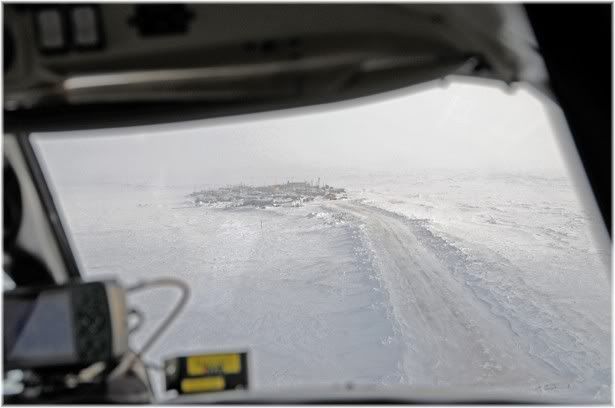
This villae has a severe
Erosion problem that threatens it's existance.
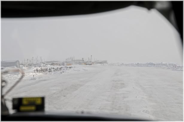
There is not much room on the barrier island. As you can see their cemetery is located right next to the runway.
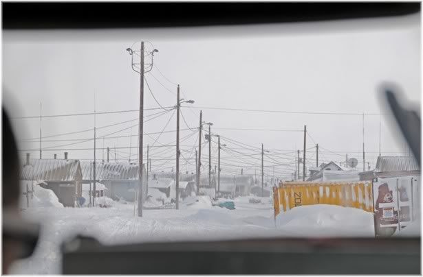
I have landed a few times in Kivalina but I have never had the oppertunity to get off and have a look around. Maybe someday.
After picking up and dropping off stuff we headed back to Kotzebue.


